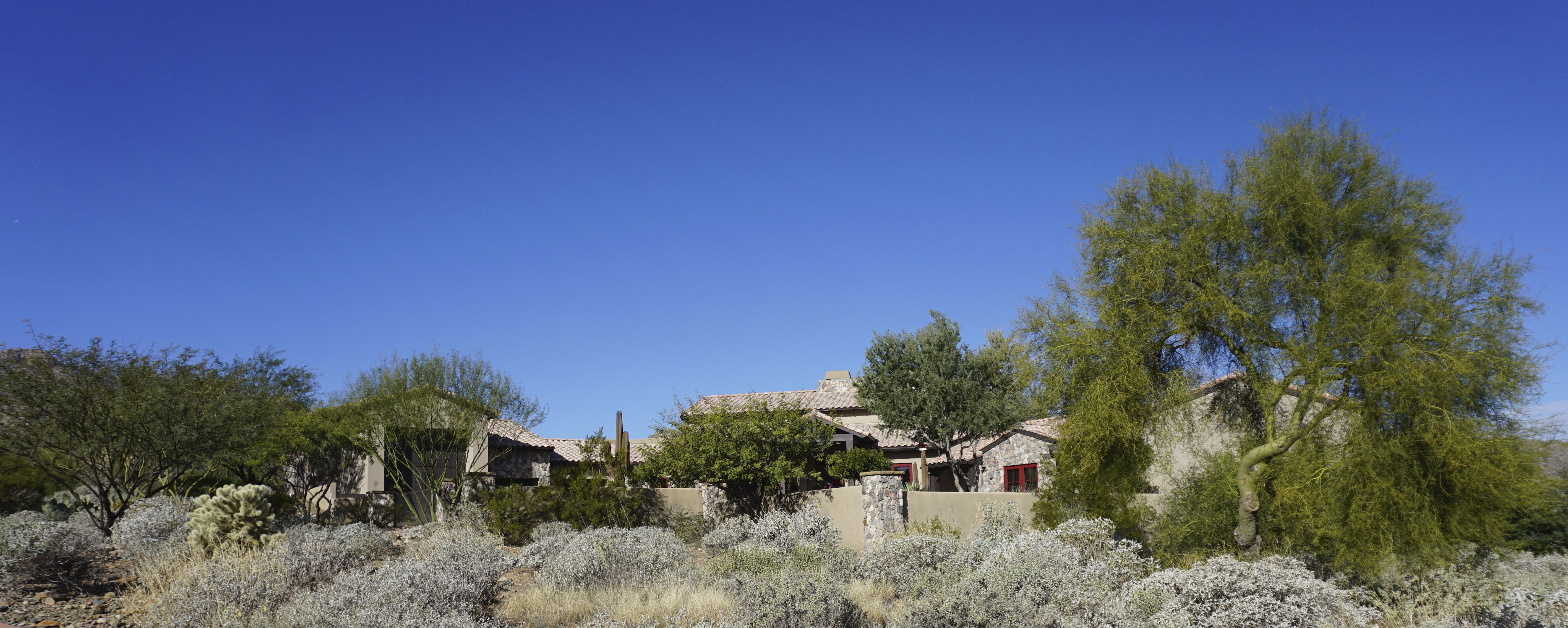
The Dixie Mine hike is known for its abandoned mining site that became part of the McDowell Mountain Regional Park in the 1970s. The hike started in a well-developed housing area. We walked passed expansive yards with houses built amongst the desert landscape to the trailhead where we paid a $2.00 entrance fee. A well-marked rocky trail leads up through the vibrant Sonoran Desert scenery filled with Palo Verde, Saguaros, Prickly Pear and Teddy Bear Cactus and Ocotillo. Quartz rocks were seen along the way, After a couple of miles, we saw the tailings of the Dixie Mine. The signs directed along the way. We didn’t go directly to the mine it because another feature of this hike is the fountain at Fountain Hills which sprays on the top of the hour for 15 minutes and we didn’t want to miss it.
We took a ridge-like trail that takes us up to a viewpoint of the Superstition Mountains including Weaver’s needle. Further up we saw the fountain at about 11:00 and stopped for lunch. This fountain, which sprays up to 560 ft was built in 1970 using recycled water from a man-made lake in the town of Fountain Hills. The spray on the daily basis is 330 ft.
After lunch, we hiked back to the road and took an immediate right on a trail up to mine tailings to the top of the mine, where we came to a large rusty grate covering a large hole.
After arriving back down the mine tailings we turned right onto the road. We hiked down a hill. At the bottom and off to the right, there is a wash with cottonwoods and palo verde. This path could be easily missed as it is not marked by a sign. In the wash, trees have toppled from the last flood. We climbed over and under them in order to get to the mine located at the bottom of the tailings. There is a sign and a gate covering the entrance. On the other side of the trail is another mine entrance with some tailings out front.
Continuing further along the wash and over some rocks, there are rock petroglyphs dating back 800 years and more.
There were twenty-one hikers on this 6.7 mile hike. It was a cool in the morning and warmed up nicely in the afternoon.


Lunch where we could see the fountain from Fountain Hills
We had just come out of Dixie Mine. It is located just off to the right.


An easy hike of approximately 5.5 miles total, out and back, to the mine at The McDowell Mountain Regional Park. We park outside of a gated community and walk about 10-15 minutes to the trailhead. Parking is limited to about 22 spaces so we have some concern there, but we have never had a problem in the past! No pit toilets, however many bushes once on the trail. The trail setting is really beautiful and the trail is generally smoother than most. Small hills with interesting rock formations and many saguaros. At about the halfway point in the hike, we will eat lunch on a hill overlooking the valley and be able to view the fountain at Fountain Hills spew 300-560 feet into the air. On our way back, we will view the old mine from the top looking down into it, then see the mine entrance itself and some petroglyphs. There is a $2.00 cash fee to hike this trail. The forecast for Fountain Hills on Friday is 69 degrees and sunny!
Directions:
With the construction on I-10 in the Phoenix area, we will try a little different route. From Florence Ave., take I-10 north 19 miles to exit 175 for Az-587 North toward Chandler. After 0.2 miles, turn left onto 587 N. Continue 12 miles to the 202. Use the 2 left lanes to turn left and merge onto the 202 ramp and head west 2.1 miles. Use the right 2 lanes to take exit 50A for the 101 loop north. Continue 21 miles to exit 41 for Shea Blvd using the right 2 lanes to turn right onto E Shea Blvd. and signs for Fountain Hills. Travel 7.8 miles to N Palisades Blvd and turn left. This will turn into Sunridge Dr and after 2.7 miles, turn left onto Golden Eagle Blvd, which is also Mountain Parkway and parking is straight ahead. The total distance is approximately 72 miles.
Dixie Mine Parking - turning off I-10 at exit 175.
Dixie Mine Trailhead Parking
Please Note:
Friday's hike will be the last hike for November due to the Thanksgiving Holiday and it was thought that many people might have family activities or company, so our next hike will be Friday, December 2, 2022! This will also give John Robichaud, who just arrived at Palm Creek and is getting settled in, time to have everything ready for the club. Remember, if a hike must be cancelled, you will, or should, receive an email by 6 a.m. Friday morning and you can go back to bed!
For questions, call John 207-446-0650 or Jerry at 307-630-0252.


.JPG)