


.jpg)


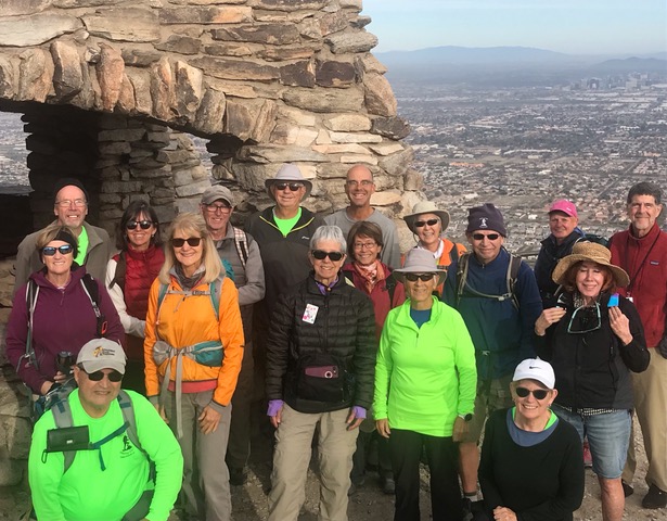
Long Hike - from Dobbins Lookout - Led by John


.jpg)
.jpg)


.jpg)

10211 S Central Ave. Phoenix, AZ 85042
Dobbins Lookout
Buena Vista
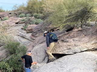
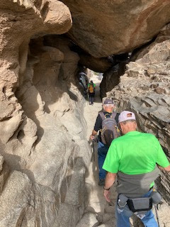
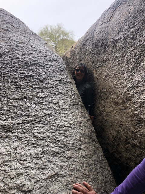
Summary - For the most part, this is an easy hike with great views of the Phoenix area. The return trip is more uphill and steeper in parts, but they are not too steep or very long. There are some interesting rock formations along the trail in addition to the tunnels and passes you must navigate.
At times there are First Nations indigenous ladies selling jewelry and trinkets on blankets in the parking lot. Great views of the City of Phoenix.
Directions, distance and time to the trailhead - We will meet and set up in front of the ballroom entrance at 7:30 am. New members come early to sign waivers, pay dues and get on headcount lists. We then take I-10 north to exit 155 and go left on Baseline Road. Go to Central Avenue and turn left and follow to gate at the entrance to the park. There are washrooms just past the gate on the right - about 300 yards. Proceed on the paved road to Summit Road and stay on that to the end of the road. The roads are well-marked. The road is narrow and twisting. It is five miles to the end at the trailhead at the summit. It took one hour and twenty minutes to get to this point and is 51 miles from the park. Long group to start at Dobbins Lookout. Medium Group to start at Buena Vista Parking lot.
Facilities at trailhead: - Washrooms at the gatehouse or at Dobbins Lookout
Difficulty: - Easy.
Length of hike: -7 or 4 miles
Time to hike: - 2 hours and twenty minutes
Trail condition: - Rock and sand with very little loose rock.
Hike type: - Out and back.
CLICK ON THE LINK BELOW to check Nancy's blogspot:www.palmcreekhikers4.
Hope you can make it Friday!


No comments:
Post a Comment
Note: Only a member of this blog may post a comment.